Tests of vigilance and attention
Measuring attention remains a concern in many settings. Some work tasks are not very error tolerant. Here are a series of sample tests to measure attention in children and adults.
Publish at April 24 2024 Updated April 24 2024


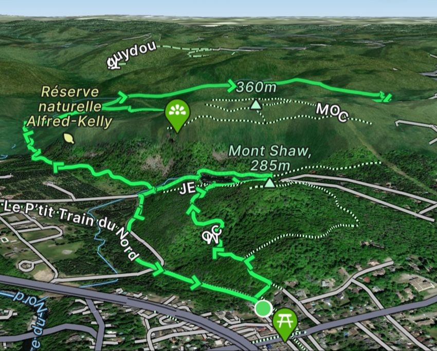
Human beings have turned nature into an immense playground. Nothing seems to stop him, not even the highest mountains, so outdoor enthusiasts are constantly looking to explore new places to experience sensations in the four corners of the planet. To help them, the FATMAP app, available in French on Android and Apple devices, offers useful information to have.
Especially designed for mountain environments, the app offers users already established circuits and information on skiable environments, hiking trails and more. Users can find out not only which route to follow, but also the altitude difference to climb or descend, and the time taken to complete the journey. They can also create their own routes and share them with the community. The application covers a wide range of outdoor activities, not just skiing:
The application uses geolocation, of course, but it is also possible to observe routes and locations far from your home town. Routes of interest can be saved for later consultation without the need for Internet access.
Learn more about this Technology
You might also like:
Tests of vigilance and attention
Measuring attention remains a concern in many settings. Some work tasks are not very error tolerant. Here are a series of sample tests to measure attention in children and adults.
A multiplayer game designed for people with disabilities
Video games designed for people with disabilities are already a rare resource. An experience that allows multiple players is even rarer. Yet this latest creation from "Ludociels for All" challenges players to light up an entire maze by walking balls of light.
The sharing economy has led to small changes in various economic sectors such as transportation, housing, etc. This approach has changed the relationship of citizens for different services, now cheaper and offered by their fellow citizens. However, who actually benefits from this new economy? The people or the companies in question? A U.S. newsgame shows how the life of Uber drivers isn't as lucrative as one might think.
A fun game about heredity and genetics - Welcome to Thingdom
How do you talk to children about genetics and heredity? A British museum has come up with the method: design a game in which you create a line of adorable creatures with precise objectives. The game is fun, colorful and easy to learn. Even adults will succumb to the charms of the bugs and their large families.
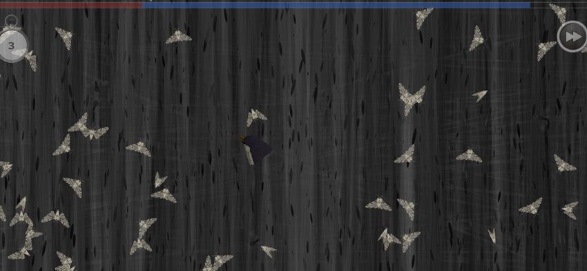
"Phalenes! understanding natural selection through play
A serious game designed to demonstrate natural selection and its effects on a moth population.