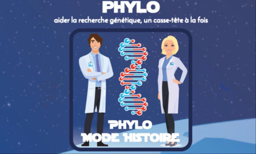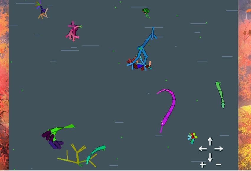
A virtual aquarium to understand Darwinian evolution
Is it possible to understand evolution through simulation? It would seem so. A very interesting resource for high school science classes.
Publish at December 17 2025 Updated December 18 2025


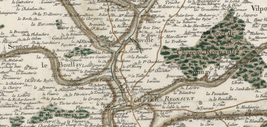
While today's world is easily mapped thanks to satellite technology, it was a long and arduous task to draw up the first geographical maps. The first map to cover the whole of France was the Cassini map. If we were more precise, we'd say the Cassini, as it took four generations of the same family to complete.
It all began in 1745, when Jacques Cassini was asked by Louis XV to produce a truly comprehensive map of the country. He began by following in the footsteps of his father, a brilliant Italian astronomer.
At the time, the sky served as a "compass" for cartographers. He carried out a series of highly precise triangulations, which his son and grandson continued for 70 years. They had to build platforms to record every river, forest, tower, castle, etc. A work of goldsmith's art which, unfortunately, soon became obsolete, given the time taken to produce it. Nevertheless, this map lives on today in the French geoportail.
Running time: 4 minutes
Learn more about this resource
You might also like:
A virtual aquarium to understand Darwinian evolution
Is it possible to understand evolution through simulation? It would seem so. A very interesting resource for high school science classes.
The sharing economy has led to small changes in various economic sectors such as transportation, housing, etc. This approach has changed the relationship of citizens for different services, now cheaper and offered by their fellow citizens. However, who actually benefits from this new economy? The people or the companies in question? A U.S. newsgame shows how the life of Uber drivers isn't as lucrative as one might think.
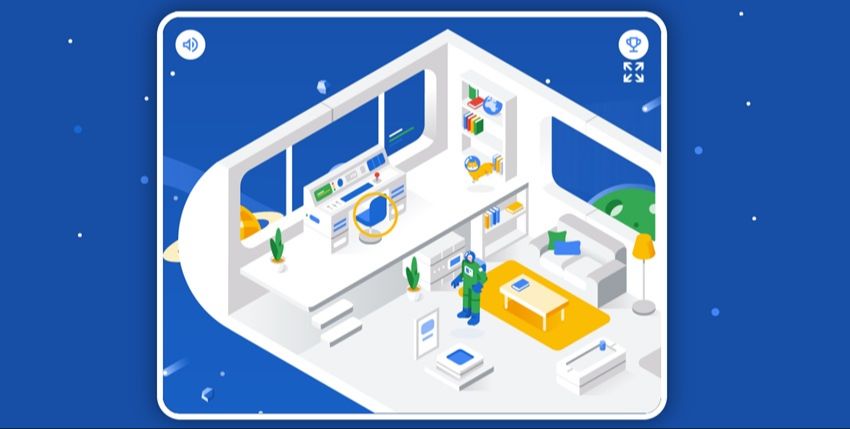
"Space Shelter: Google's cybersecurity game
All our lives have an online component. As a result, a large proportion of Internet users are at risk of being tricked by hackers. A short game invites Internet users to remember certain elements of cybersecurity using a space theme.
A multiplayer game designed for people with disabilities
Video games designed for people with disabilities are already a rare resource. An experience that allows multiple players is even rarer. Yet this latest creation from "Ludociels for All" challenges players to light up an entire maze by walking balls of light.